Plaza del Himno in Bayamo. Photo © Christopher P. Baker.
For physical drama, Granma Province is hard to beat.The region also became the first battleground in the revolutionary efforts to topple the Batista regime, initiated on July 26, 1953, when Castro’s rebels attacked the Bayamo garrison in concert with an attack on the Moncada barracks in Santiago. In 1956, Castro, Che Guevara, and 80 fellow revolutionaries came ashore at Las Colorados to set up their rebel army. The province is named for the vessel—the Granma—in which the revolutionaries traveled from Mexico.Several sites recall those revolutionary days, not least La Comandancia de la Plata (Fidel Castro’s guerrilla headquarters), deep in the Sierra Maestra. An enormous swath is protected within Gran Parque Nacional Sierra Maestra, fabulous for bird-watching and hiking. You can even ascend the trail to Pico Turquino, Cuba’s highest mountain.
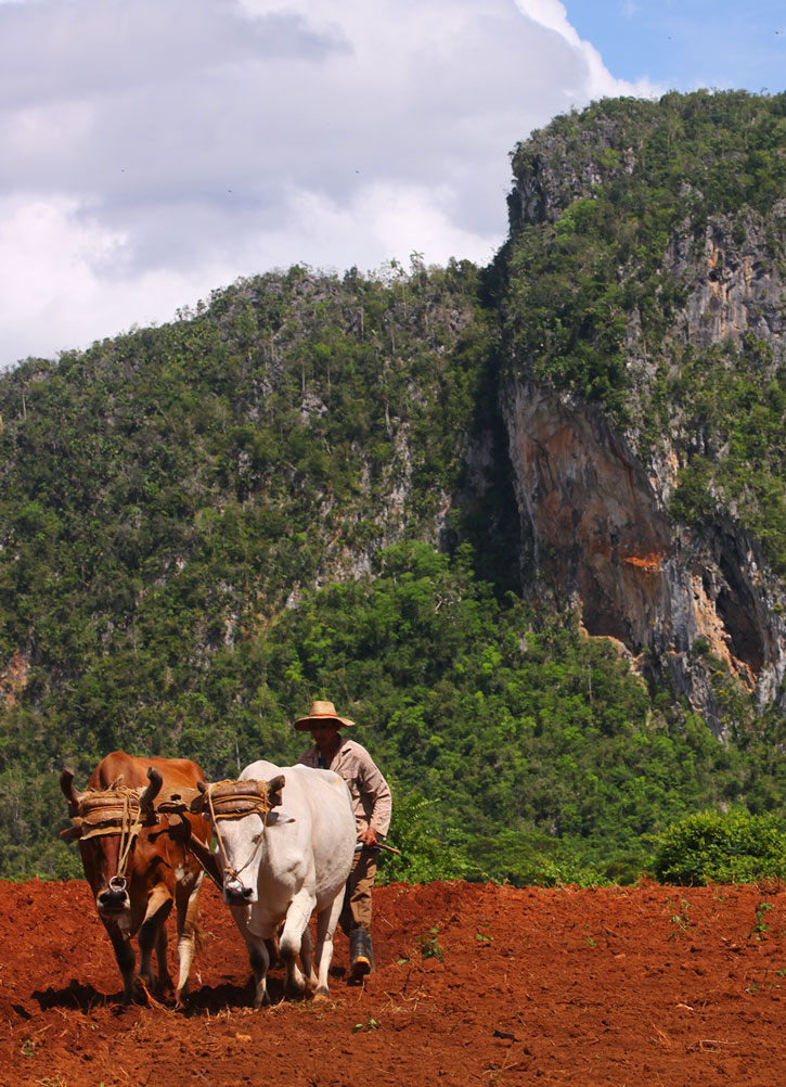
For physical drama, Granma Province is hard to beat. The province is neatly divided into plains (to the north) and mountains (to the south). The Río Cauto—Cuba’s longest river—runs north from these mountains and feeds the rich farmland of the northern plains. The river delta is a vast mangrove and grassy swampland (birding is spectacular, not least for its roseate spoonbills). Whereas the north side of the Sierra Maestra has a moist microclimate and is lushly foliated, the south side lies in a rain shadow. Greenery yields to cacti-studded semi-desert.
Most sites of interest can be discovered by following a circular route along the main highway that runs west from Bayamo, encircles the Sierra Maestra, and travels along the south coast (road conditions permitting).
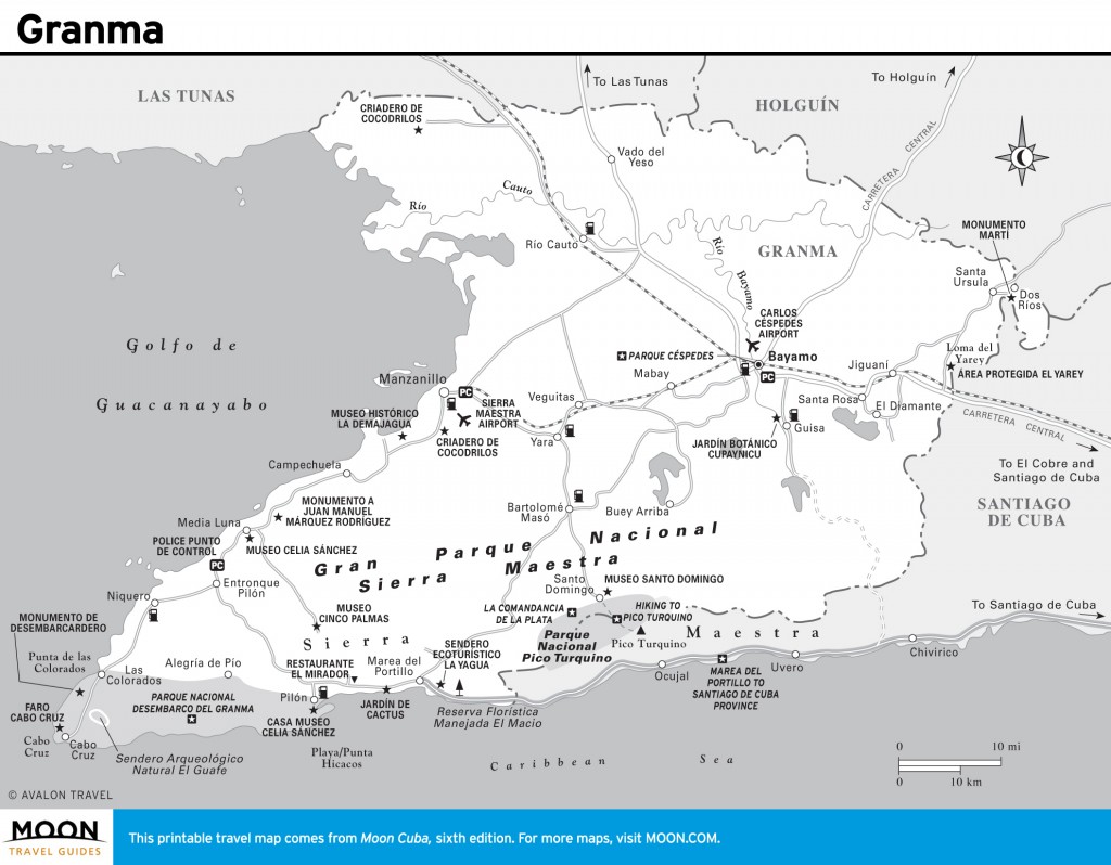
Granma
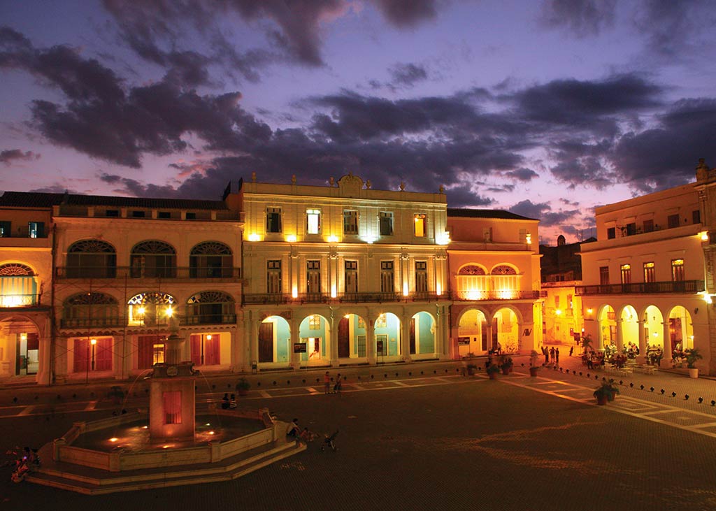
Fancy some mountain hiking? Then the Sierra Maestra calls.If you’re into the urban scene, concentrate your time around Bayamo, the provincial capital. Its restored central plaza—Parque Céspedes—and adjoining Plaza del Himno have a delightful quality and several historic buildings worth the browse. If you’re in a rush to get to Santiago de Cuba, it’s a straight shot along the Carretera Central, perhaps with a short detour to Dos Ríos (with a monument commemorating José Martí’s martyrdom here in 1895).Fancy some mountain hiking? Then the Sierra Maestra calls. This vast mountain chain runs about 140 kilometers west-east from the southwest tip of the island (Cabo Cruz) to the city of Santiago de Cuba. The only area developed for ecotourism is at Santo Domingo, gateway to the trailhead to Pico Turquino (overnight hike) and La Comandancia de la Plata (same-day hike). The access road to Santo Domingo is not for the faint of heart; hill grades appear like sheer drops.
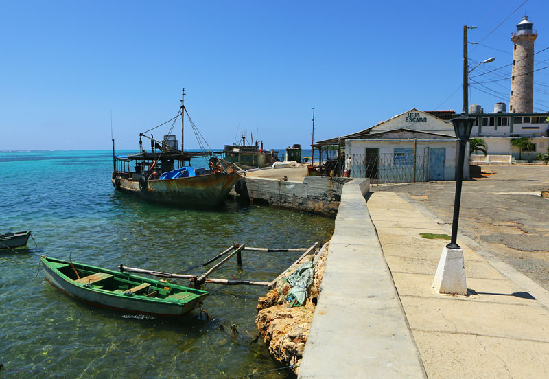
Cabo Cruz in Granma Province. Photo © Christopher P. Baker.
The town of Manzanillo has few sites of interest. The coast road south of Manzanillo, however, has sites sufficient for a day’s browsing. Of modest interest are the Criadero de Cocodrilos (croc farm) and Museo Histórico La Demajagua, the former farm where Carlos Manuel de Céspedes became the first landowner to free his slaves. Students of revolutionary history might check out the Museo Celia Sánchez (in Media Luna) and Parque Nacional Desembarco del Granma, where Castro and his guerrillas landed to pursue the Revolution. The latter makes for a fleeting visit, unless you want to hike the trails (good for birding and caving) on the western slopes of the Sierra Maestra.
A singular reason to visit this region is the spectacular drive between Marea del Portillo and Santiago de Cuba. Running along the coastline for more than 100 kilometers, with the Sierra Maestra rising sheer from the shore, this roller-coaster ride turns a scenic drive into a fantastic adventure. There are virtually no communities en route. You’ll need your own wheels; public transport is extremely limited. At last visit, the road was dangerously deteriorated. Break the drive at Marea del Portillo, a ho-hum beach resort used by budget charter groups.
The region was the epicenter for an outbreak of cholera in 2012, centered on Manzanillo. The government acknowledged a reoccurrence in Bayamo in early 2013. At my last visit containment efforts were still in effect, including compulsory bleaching stations.
Excerpted from the Sixth Edition of Moon Cuba.