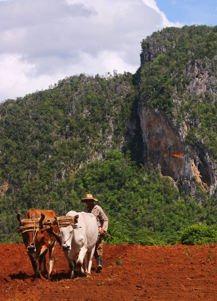
A farmer in Pinar del Río. Photo © Christopher P. Baker.
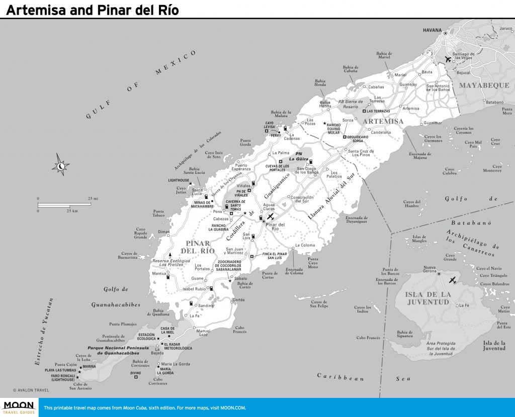
A slender pencil of uninhabited land—the Península de Guanahacabibes—forms the western tip of Cuba, jutting west 50 kilometers into the Gulf of Mexico. Smothered in dense brush and cactus, the peninsula is a nature reserve. Playa María la Gorda, in Bahía de Corrientes, is a center for scuba diving. This area was inhabited at least 4,000 years ago by the Guanahatabey, the island’s initial aboriginal settlers; later the region became a last refuge for the Ciboney, who retreated before the advance of the Taíno. Indigenous sites are being unearthed.
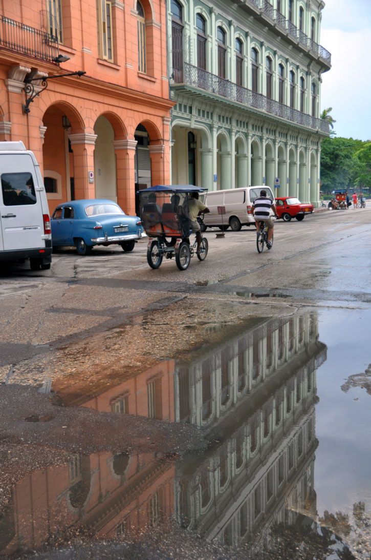
Between Pinar del Río and Havana lies Artemisa Province, created in 2010 when Havana Province was split into two new provinces: Artemisa to the west and Mayabeque to the east (the new entities were an experiment to design more efficient government at the provincial and municipal levels). Artemisa incorporates three municipalities formerly in Pinar del Río Province. Sprinkled throughout the province are colonial towns that seem trapped in a time-warp. The gently undulating southern plain is the breadbasket of the city and the wealthiest region in Cuba. In counterpoint, the southern shore is a soggy no-man’s-land of swamps and mangroves, where lowly fishing villages are among the most deprived and down at the heels in Cuba. Though buses run to most towns, few of the stand-alone sites are served by public transport. You’ll need wheels, but be warned: The roads that fan out south from Havana are crisscrossed by minor roads that together form an unfathomable labyrinth.
Most visitors to this region justifiably set their sights on Viñales, a rustic time-warp village fully deserving of two days or more. There’s plenty to see and do in the national park that bears its name, and you may wish to budget longer to savor Viñales’s fabulous scenery, slow pace, and yesteryear way of life.
To get there, most tourists follow the six-lane Autopista, the concrete highway linking Havana with the provincial capital of Pinar del Río, which can be skipped without regret. There’s relatively little traffic, and the route is pleasingly scenic, notably in the east, where the lowlands are smothered in oceans of sugarcane. There are two refreshment stops along the highway. The only gas station is at the turnoff for Soroa, with its lovely orchid garden.
Artemisa and Pinar del Río
A more interesting route is the Carretera Central through sleepy provincial towns such as Candelaria, Santa Cruz de los Pinos, and Consolación del Sur—towns memorable for their old churches, faded pastel houses, and covered walkways with neoclassical pillars. The two-lane highway parallels the Autopista along the southern edge of the mountains and grants easy access to Soroa and Parque Nacional La Güira, which should be visited for the enormous cavern that once formed a military headquarters for Che Guevara.
For scenery, I prefer the Circuito Norte along the north coast. Offshore, a necklace of cays—the Archipiélago de los Colorados—are protected by a coral reef. There are beaches, though few of great appeal. (West of Puerto Esperanza, the road is very badly deteriorated.) The star attraction is Cayo Levisa, offering fabulous diving and excellent accommodations. Scuba enthusiasts should head west to María la Gorda; and nature enthusiasts might enjoy a day or two exploring Parque Nacional Península de Guanahacabibes.
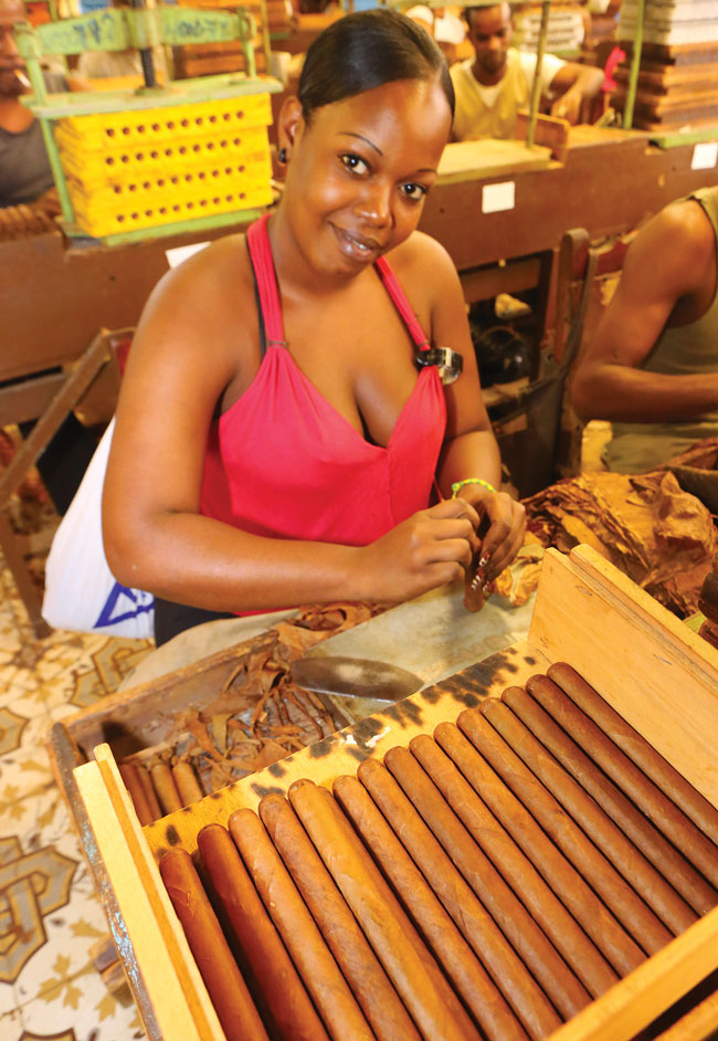
The northwest coast and southern plains can be skipped. Historical attractions are few, although modernity overlays a way of life that has changed little since the end of the 19th century. This is especially so in the tobacco fields that are the province’s main claim to fame, and never more so than on the outskirts of San Juan y Martínez at Finca El Pinar San Luis, renowned worldwide to cigar aficionados.