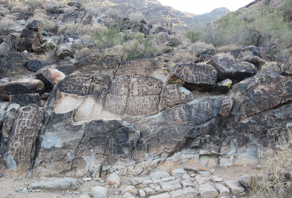
The Waterfall Trail offers close-up views of some of the best petroglyphs in town. Photo © Lilia Menconi.
Start the hike from the Waterfall Trail trailhead on the southwest side of the parking lot. The entry to the wide path is flanked by cases filled with maps, park information, and signage for mountain lion warnings. The firmly packed dirt makes for a very easy cruise. As the trail heads southwest, it offers ample opportunity for pit stops to read each plaque. Read them. Learn. There’s no point in rushing this trail. Benches line the path, so embrace the leisurely vibe and enjoy your experience.
The main site, Petroglyph Plaza, appears on the right side of the trail at 0.4 mile, and it’s worth your while to spend a moment here. Contemporary Native Americans consider petroglyph sites sacred. After a few seconds viewing the overlapping mass of spirals and designs etched into the rock, it’s easy to understand why.
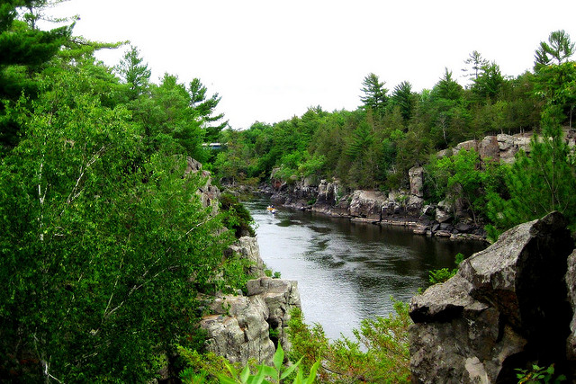
At 0.5 mile, unfortunately, the wheelchair-accessible portion of the trail comes to an end. If you’re not on wheels, feel free to keep moving as the terrain becomes slightly more rugged. Soon, you’re walking alongside a rocky creek. If you’re lucky, flowing water will be weaving in and among the granite boulders. Notice the dramatic change here as the canyon walls begin to jut high on either side. They will collide at the site of the waterfall, which sits just shy of 1 mile in. After a good rain, you may see anything from a trickle to a rush of water cascading down the vertical drop of rock to splash into a deep tank.
When you’re ready, simply turn around and follow the trail back to the parking lot.
For a longer hike, take a little detour from the Waterfall Trail to the Black Rock Long Loop via the signed connecting trail at 0.4 mile. Take a left turn (southeast) for a very short jaunt until you meet up with the Black Rock Long Loop. Veer right on the loop and follow it counterclockwise as it boomerangs back to the connecting trail. This detour adds 1.2 miles to the trip with minimal elevation gain.
From downtown Phoenix, take I‑10 west toward Los Angeles for about 18 miles. Take the exit for Sarival Avenue and turn right, heading north, onto Sarival Avenue. After 0.2 mile, turn left onto McDowell Road. Take McDowell Road west for 2 miles and turn right, heading north, onto Citrus Road. Take Citrus Road for 7 miles and then turn left onto Olive Avenue. Take Olive Avenue west for 3 miles until it turns into White Tank Mountain Road. Pass through the park gate and pay the fee. Take White Tank Mountain Road for 2 miles as it curves and heads north. Turn left onto Waterfall Canyon Road heading northwest. After 0.4 mile, turn left into the Waterfall Trail trailhead parking lot. The Waterfall Trail trailhead is on the southwest side of the lot.
There is a fee of $6 per vehicle. An annual pass is available for $75. Dogs on leash are allowed. Maps are available at the park entrance. The park is open daily (6am- 8pm Sun.-Thurs., 6am-10pm Fri.-Sat.). For more information, contact White Tank Mountain Regional Park, 20304 West White Tank Mountain Road, Waddell, AZ 85355, 623/935-2505.
Excerpted from the First Edition of Moon Take a Hike Phoenix.