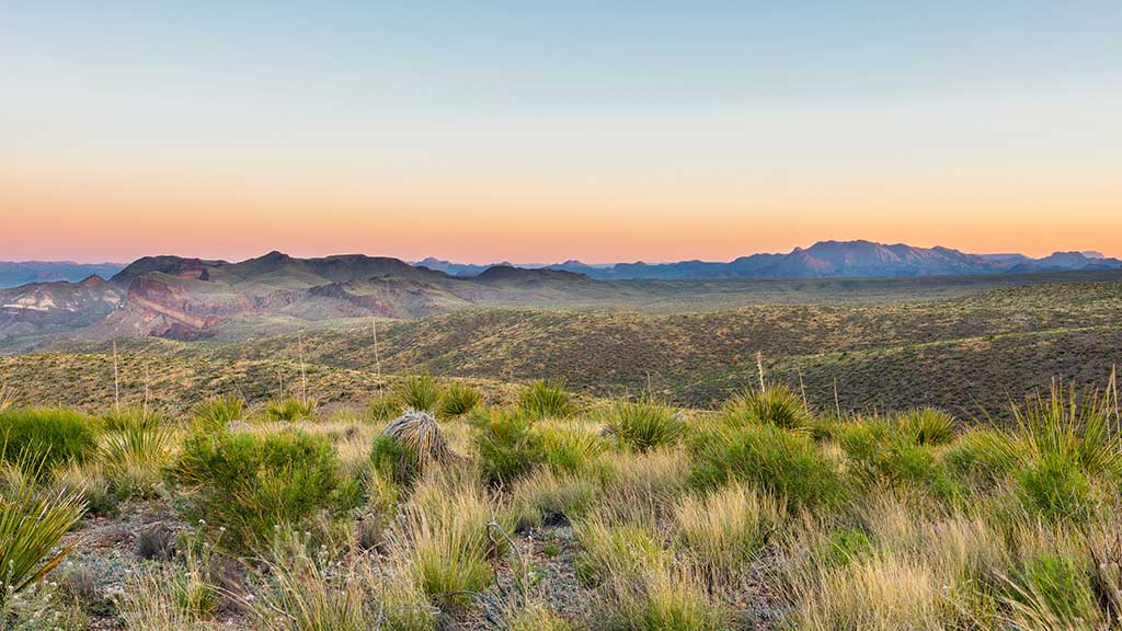
Albuquerque’s west side is bordered by
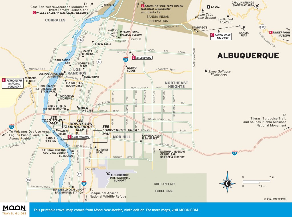
Petroglyph National Monument, 7,500 acres of black boulders that crawl with some 20,000 carved lizards, birds, and assorted other beasts. Most of the images, which were created by chipping away the blackish surface “varnish” of the volcanic rock to reach the paler stone beneath, are between 400 and 700 years old, while others may date back three millennia. A few more recent examples of rock art include Maltese crosses made by Spanish settlers and initials left by explorers (not to mention a few by idle 20th-century teenagers).
The fingers were formed when molten rock flowed between sandstone bluffs, which later crumbled away.Stop in first at the
visitors center (Unser Blvd. at Western Tr., 505/899-0205, 8am-5pm daily) for park maps, flyers on flora and fauna, and general orientation. From here, you will have to drive to the major trails:
Boca Negra Canyon, a short paved loop and the only fee area ($1/car on weekdays, $2 on weekends);
Piedras Marcadas Canyon, a 1.5-mile unpaved loop; and
Rinconada Canyon, an out-and-back hike (2.2 miles round-trip) that can be tedious going in some spots because the ground is sandy. The clearest, most impressive images can be found here, in the canyon at the end of the trail. Everywhere in the park area, keep an eye out for millipedes, which thrive in this environment; dead, their curled-up shells resemble the spirals carved on the rocks—coincidence?
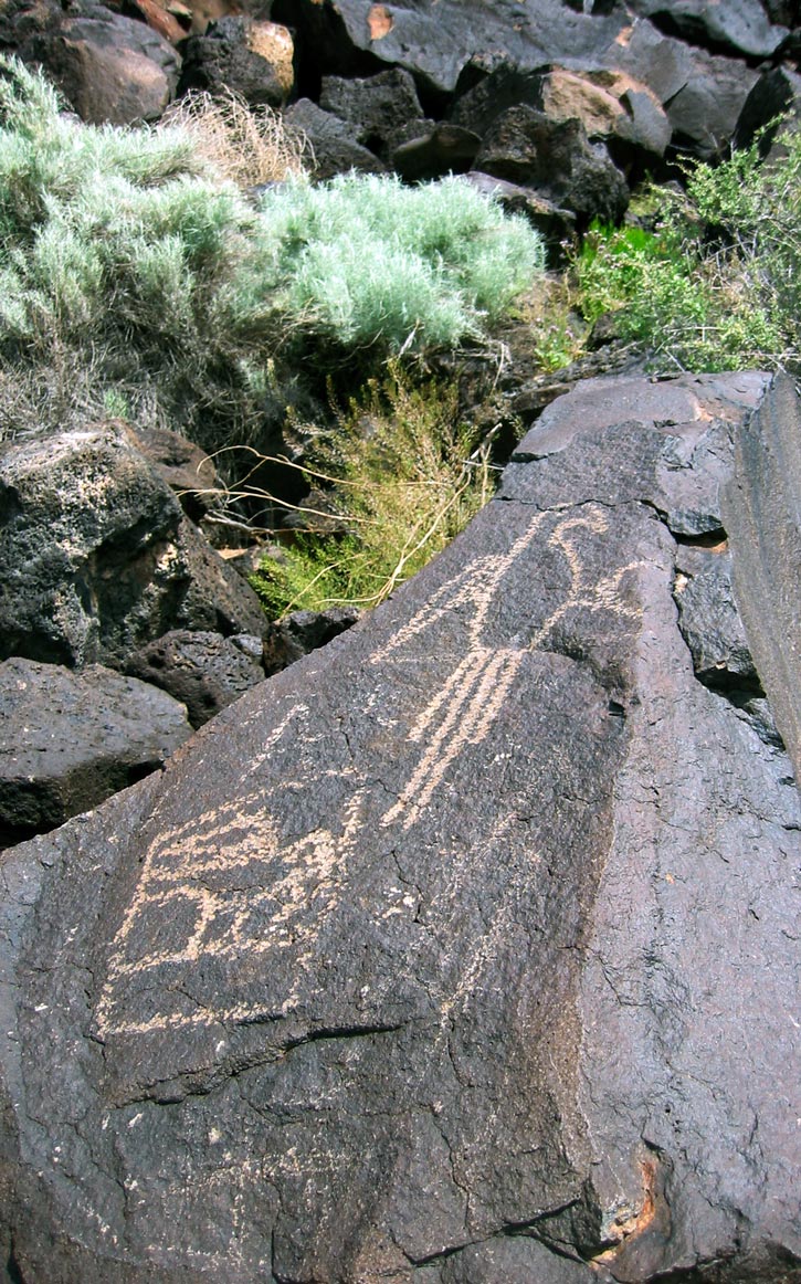
Most of the images in Petroglyph National Monument are between 400 and 700 years old. Photo © Zora O’Neill.
For the best overview (literally) of this area’s geology, head for the back (west) side of the parkland, the Volcanoes Day Use Area (9am-5pm daily), where three cinder cones mark Albuquerque’s western horizon. Access is via Atrisco Vista Boulevard (exit 149) off I-40; turn right (east) 4.3 miles north of the highway at a dirt road to the parking area.
From this vantage point, you can look down on the lava “fingers” that stretch east to form the crumbled edges of the escarpment where the petroglyphs are found. The fingers were formed when molten rock flowed between sandstone bluffs, which later crumbled away. The volcanoes were last reported emitting steam in 1881, though a group of practical jokers set smoky fires in them in the 1950s, briefly convincing city dwellers of an impending eruption. But the peaks are not entirely dead: Patches of green plants flourish around the steam vents that stud the hillocks, particularly visible on the middle of the three volcanoes.
Albuquerque
Excerpted from the Fourth Edition of Moon Santa Fe, Taos, & Albuquerque.