Columbia River Gorge
TIME : 2016/2/22 16:44:11
Columbia River Gorge
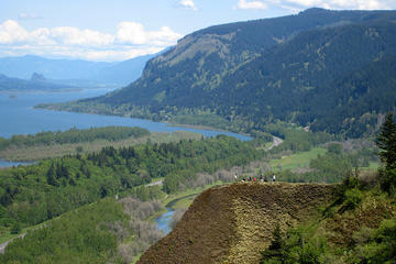
About 16 miles east of Portland, the Columbia River Gorge stretches from Troutdale to Biggs on the Oregon side, and from Vancouver to Maryhill on the Washington side. An 80-mile canyon ranging from sea level to 4,000 feet, this National Scenic Area separates the two states in a wide, rocky and leafy ribbon which runs between the Columbia River and the Cascade Mountains.
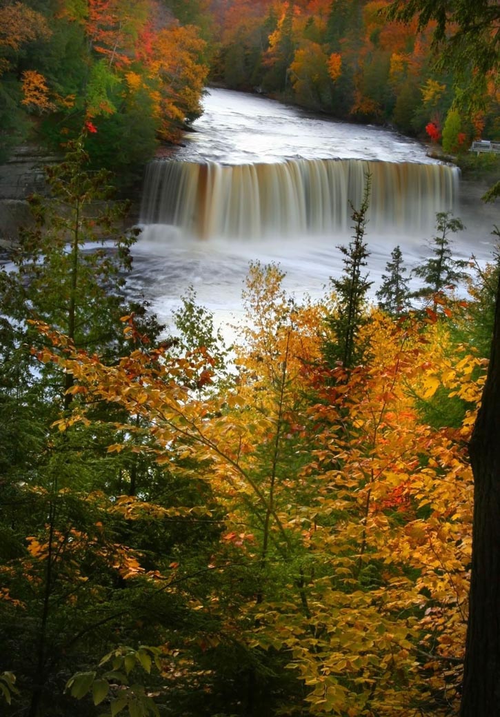
In 1805, the Lewis and Clark Expedition used the Columbia and its craggy banks to reach the Pacific; these days, two smoothly-paved highways on the Oregon side would greatly simplify the explorers' epic journey. Interstate-84 parallels the achingly wide, cornflower-blue Columbia, wending past dense, dark forests and jagged, lavender-grey mountains. Beside the Columbia River Highway (which runs adjacent to I-84 from Troutdale to Dodson), the Gorge is webbed with hiking trails and more than 90 waterfalls, including the 620-foot-high Multnomah Falls.
While it's possible to treat the Gorge as a day's trip out of Portland, the area makes an ideal weekend trip of itself; the Gorge provides opportunities for hiking, biking, fishing, water sports and more. Oregonian highlights of the Gorge include the hand-hewn Timberline Lodge; Mt Hood, the highest mountain in the state; the windsurfing action and cozy taverns of downtown Hood River; wine tasting in the Pinot-focused Willamette Valley; the Columbia Gorge Discovery Center at The Dalles and the rafting rapids of the White Salmon River.
Practical Info
Photo courtesy of user Hux via Wikimedia Commons