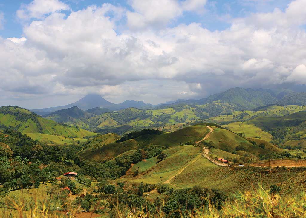
The beauty of the Central Highlands owes much to the juxtaposition of valley and mountain. The large, fertile central valley—sometimes called the Meseta Central (Central Plateau)—is a tectonic depression about 20 kilometers (12 miles) wide and 70 kilometers (43 miles) long. The basin is held in the cusp of verdant mountains that rise on all sides, their slopes quilted with dark-green coffee and pastures as bright as fresh limes. Volcanoes of the Cordillera Central frame the valley to the north, forming a smooth-sloped meniscus. To the south lies the massive blunt-nosed bulk of the Cordillera Talamanca. The high peaks are generally obscured by clouds for much of the “winter” months (May-Nov.). When clear, both mountain zones offer spectacularly scenic drives, including the chance to drive to the very crest of two active volcanoes, Poás and Irazú.
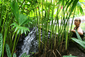
The highlands near Arenal Volcano in Costa Rica. Photo © Christopher P. Baker.
Almost 70 percent of the nation’s populace lives here, concentrated in the four colonial cities of San José, Alajuela, Cartago, and Heredia.The Meseta Central is really two valleys in one, divided by a low mountain ridge—the Fila de Bustamente (or Cerro de la Carpintera)—which rises immediately east of San José. West of the ridge is the larger valley of the Río Poás and Río Virilla, with flanks gradually rising from a level floor. East of the ridge, the smaller Valle de Guarco (containing Cartago) is more tightly hemmed in and falls away to the east, drained by the Río Reventazón.Almost 70 percent of the nation’s populace lives here, concentrated in the four colonial cities of San José, Alajuela, Cartago, and Heredia, plus lesser urban centers that derive their livelihood from farming. Sugarcane, tobacco, and corn smother the valley floor, according to elevation and microclimate. Dairy farms rise up the slopes to more than 2,500 meters (8,200 feet). Small coffee fincas are also everywhere on vale and slope. Pockets of natural vegetation remain farther up the slopes and in protected areas such as Parque Nacional Braulio Carrillo, Parque Nacional Tapantí-Macizo de la Muerte, and other havens of untamed wildlife.
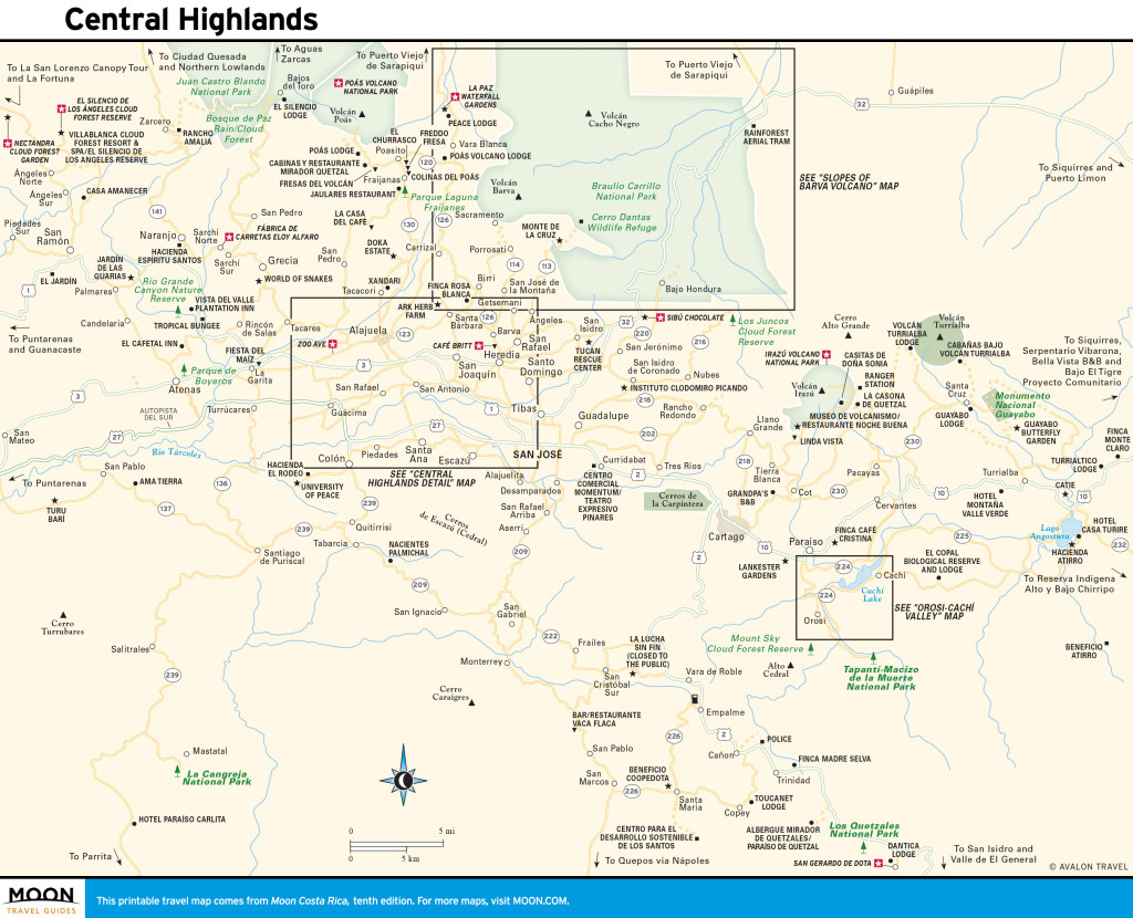
Central Highlands
Although variations exist, an invigorating and salubrious climate is universal. In the dry season, mornings are clear and the valley basks under brilliant sunshine. In the wet (“green”) season, clouds typically form over the mountains in the early afternoon, bringing brief downpours. Temperatures average in the mid-20s Celsius (mid-high 70s Fahrenheit) year-round in the valley and cool steadily as one moves into the mountains, where coniferous trees lend a distinctly alpine feel.
You could well spend two weeks touring the highlands, but for most folks three or four days should prove sufficient. Ideally you’ll want your own car, although tour operators in San José offer excursions. Don’t underestimate the time it can take to move between destinations: Roads are convoluted and signage is poor. Touring the highlands en route to another region makes sense; choose your destinations accordingly. The area has several superb boutique hotels, which make perfect bases for exploring on the hub-and-spoke principle. Seasonality is not a factor in deciding when to visit, as the area has year-round springlike temperatures, with a propensity to afternoon downpours in wet season (May-Oct.).
Northwest of San José, must-sees are Parque Nacional Volcán Poás, where you can peer into the bowels of a living volcano, La Paz Waterfall Gardens, and a visit to a coffee estate. You’ll want a second base hotel if planning to visit the Cartago and Orosi or Turrialba region.
Excerpted from the Tenth Edition of Moon Costa Rica.