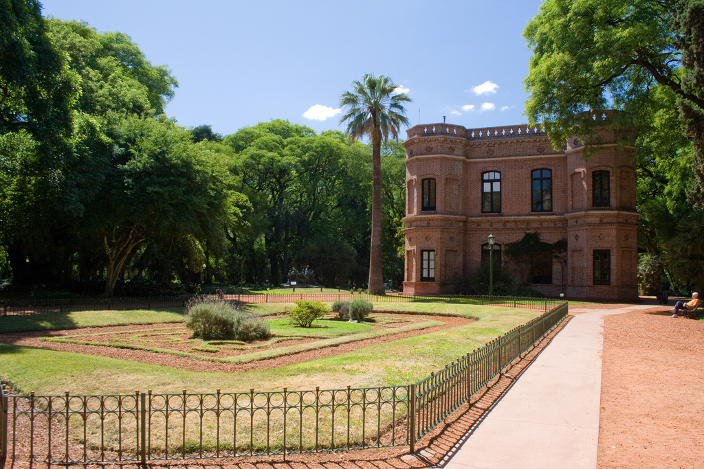
On Lago Nahuel Huapi’s north shore, Villa la Angostura lies within Bariloche’s economic orbit. Its proximity to less developed parts of the lake, to Parque Nacional Los Arrayanes, and to the Cerro Bayo winter-sports center, though, has helped established its own identity—with an air of exclusivity—for both Argentines and foreigners. It has excellent accommodations and restaurants, with prices on the high side because it gets hordes of Chilean visitors thanks to the paved international highway.
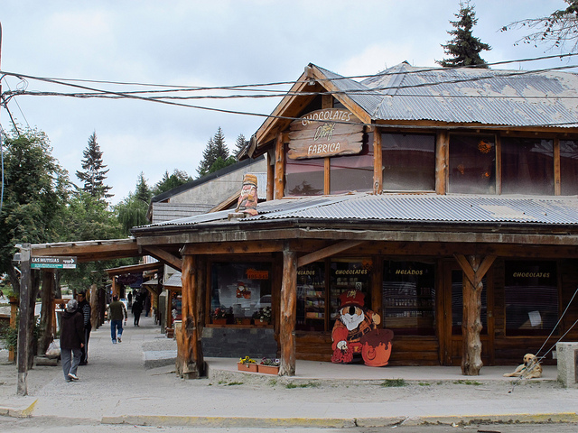
Along the main street in Villa la Angostura. Photo © Los viajes del Cangrejo, licensed Creative Commons Attribution.
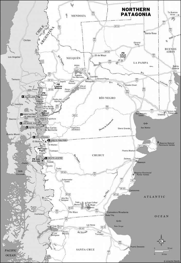
Villa La Angostura (pop. 11,100) is 80 kilometers northwest of Bariloche via RN 40 and RN 231 (the highway to Osorno, Chile) and 109 kilometers south of San Martín de los Andes via RN 234, via the scenic Siete Lagos (Seven Lakes) route that’s now being paved. It’s 870 meters above sea level, but the mountains rise sharply from the lakeshore.
“El Cruce” is that part of town where the highway crosses the street to the lakeside district referred to as “La Villa.” Many services line both sides of RN 231 (Av. Arrayanes and its westward extension, Av. Siete Lagos) as it passes directly through El Cruce. Three kilometers south, residential La Villa (also referred to as El Puerto) has another cluster of hotels and restaurants. Parque Nacional Los Arrayanes occupies all of Península Quetrihué, the southward-jutting peninsula linked to La Villa by the isthmus that gives Villa La Angostura its name (The Narrows).
Foot, bicycle, and kayak are the best ways to see Villa La Angostura and nearby sights. For hiking in the mountains, where the trails are too steep and narrow for bicycles, take a taxi or remise to the trailhead.
At La Villa, the Museo Histórico Regional (Blvd. Nahuel Huapi 2177, no phone, 10am-5pm Tues.-Sat., free) is an attenuated version of the local museum, relocated to a tiny space that only allows it to focus on the lake’s navigation and settlement history.
From June to September, nine kilometers east of El Cruce, the Centro de Ski Cerro Bayo (Las Fucsias 121, Oficina 3, in town, tel. 0294/4494189) operates 12 kilometers of runs ranging from 1,050 to 1,782 meters above sea level, with eight chairlifts and four tow bars. Cerro Bayo also has restaurants and rental equipment on-site; for lift ticket prices, consult the website.
From Avenida Siete Lagos, 800 meters west of El Cruce, the Cacique Antriao road leads to a wide parking area, from which a two-kilometer trail reaches Mirador Belvedere. From Mirador Belvedere, there are views along Lago Correntoso to the north; the implausibly short Río Correntoso that connects it to Lago Nahuel Huapi; and the hoary western peaks that mark the Chilean border.
About midway up the forest trail, an east-bound one leads to Cascada Inacayal, a 50-meter waterfall. For experienced trekkers only, another trail to 1,992-meter Cerro Belvedere climbs through coihue forest before dipping into a saddle and then ascending steeply over Cerro Falso Belvedere before continuing to the summit.
Northern Patagonia
El Cruce’s convenient Terminal de Ómnibus (Av. Siete Lagos and Av. Arrayanes) has frequent connections to Bariloche, several buses daily to San Martín de los Andes via the scenic Siete Lagos route, and long-distance services to Neuquén. Chile-bound buses from Bariloche stop here, but reservations are advisable because they often run full.
Sample destinations include Bariloche (US$6, 1.5 hours), San Martín de los Andes (US$10, 2.5 hours), and Neuquén (US$34-42, 6-7 hours).
Excerpted from the Fourth Edition of Moon Patagonia.