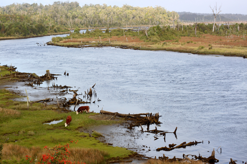
The heartland of Chilean folklore, greener than Washington and Oregon, rain-soaked Chiloé is an archipelago whose wild western woodlands are darker than the Black Forest and traversed by trails leading to secluded ocean beaches with rolling dunes. Its cultural landscape is a mosaic of field and forest, and its seas yield some of Chile’s most diverse seafood.
Isla Grande de Chiloé. Photo © Johnathan Hood, licensed Creative Commons Attribution No-Derivatives.
Chiloé also includes the associated mainland area that is inaccessible overland. The main island is the Isla Grande de Chiloé. Some 180 kilometers long and 50 kilometers wide, one of about 40 islands in the group, it is South America’s second largest, only Tierra del Fuego is larger. The sheltered inlets on its more densely populated east coast are ideal for sea kayaking, linking peasant villages with a unique vernacular architecture of elaborately shingled houses—a handful of them on stilts—and churches.
Though it can rain in any season, summer is the best time to visit, as days are long enough at least to hope for a break in the drizzle. On the Pacific side, penguins breed in summer. The ranges of the Humboldt and Magellanic penguin species overlap here.
Pre-Columbian Chiloé was the province of the Huilliche, the southernmost branch of the Mapuche, who netted and trapped fish, gathered shellfish such as sea urchins, and cultivated maize and especially potatoes in its cool, damp climate. Their insularity bred a self-reliance that persists to the present, as residents have adapted native materials into technologically simple but useful artifacts.
Spain founded the city of Castro in 1567, but Jesuit missionaries soon established a circuit around this “last outpost of Christianity.” Before their 1767 expulsion from the Americas, the Jesuits encouraged the construction of wooden churches and chapels that were predecessors of the 50-plus scattered around the archipelago, which led to its designation as a UNESCO World Heritage Site.
Mainland refugees from the early 17th century Mapuche insurrection found a haven here, creating the first permanent European presence. Their geographical isolation took political form in a conservatism that made them the Spanish empire’s last holdouts in Chile, which failed to conquer the fortress of Ancud until 1826.
Economically, isolation meant poverty, though not starvation. Darwin remarked, a few years after Spain’s expulsion, that “there is no demand for labour, and consequently the lower orders cannot scrape together money sufficient to purchase even the smallest luxuries,” and that barter was pervasive. Emigration for employment became a way of life. Buses still leave the Isla Grande for southern Patagonia every day, but developments of the past two decades have improved the economy and reduced isolation. Ferries constantly shuttle across the Canal Chacao to the mainland, and salmon farming, despite serious environmental drawbacks, has brought a measure of prosperity. In summer and sometimes beyond, the tourist trade makes an increasing contribution.
Excerpted from the Fourth Edition of Moon Patagonia.