Avenue of the Volcanoes
South of Quito, two parallel mountain ranges run from north to south along a 124-mile (200-km) route where more than a dozen of Ecuador’s volcanoes are found. German explorer Alexander von Humboldt called it the Avenue of the Volcanoes in the 18th century, and aptly so. Eight of the 10 highest points in Ecuador are found here. The volcanoes — some active, some dormant — are each unique.
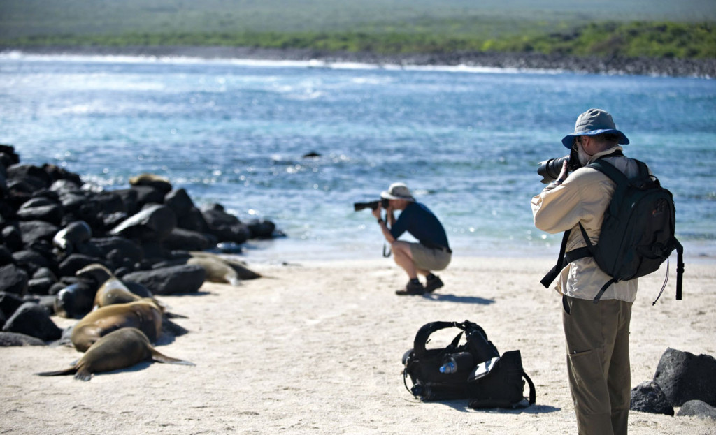
Traveling through the Avenue of the Volcanoes provides wonderful views of the countryside and the opportunity to visit tiny villages high in the Andes and shop at local markets. Deer, llama, Andean fox and puma, and 90 species of birds all call this region home.
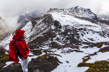
Along the way, there are some of the finest outdoor adventures anywhere, including horseback riding, biking, and hiking through mountains, valleys and around volcano craters. Hiking around the lakes in the region is also a beautiful way to see the area.
The impressive volcanoes passed on the route include Cotopaxi, a snow-capped cone, which at a height of 19,347 feet (5,897 meters) is one of Ecuador's most-recognizable volcanoes. The summit of Chimborazo, Ecuador’s highest mountain, is the furthest point from the center of the earth. Many of the giant volcanoes in this region have a national park named after them, including Sangay, Chimborazo, Llanganates, Cotopaxi and Cayambe Coca.
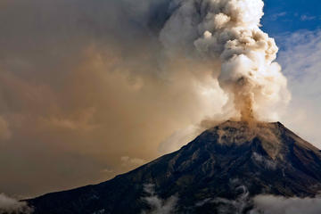
The 1.87-mile (3-km) -wide lake at Quilotoa has a distinctive greenish color, and the small town at the summit is worth visiting. Cayambe is considered the highest point on the equator and is also the only point on the equator to have permanent snow cover. The volcano Tungurahua has been active recently, with several eruptions producing large clouds of ash.
Practical Info
Buses leaving Quito follow the Pan-American Highway, which goes through the Avenue of the Volcanoes.