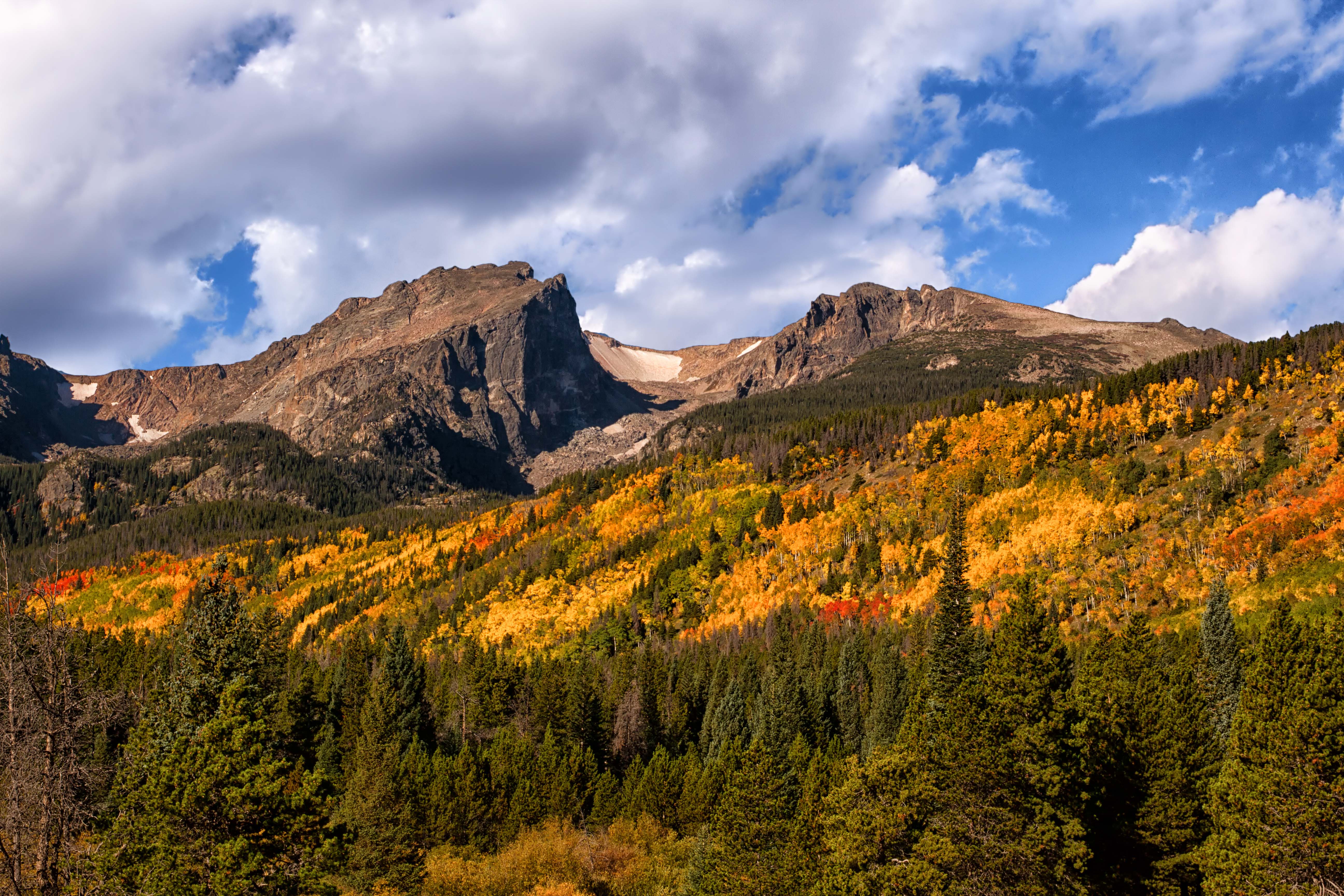
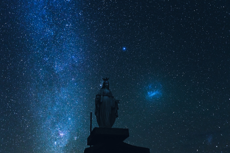
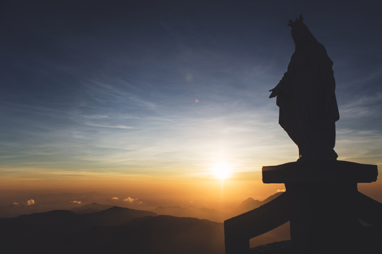
To summit Mt Ramelau (2986m), and be greeted by the placid, alabaster gaze of the Virgin Mary is to be treated to one of the Timor-Leste’s most striking spectacles. On a clear day, as the surrounding mountains roll out in every direction below the peak across a patchwork of dense green forest, the entire coastline is visible in the distance. It is a surreal experience to view the entire nation from this single vantage point.
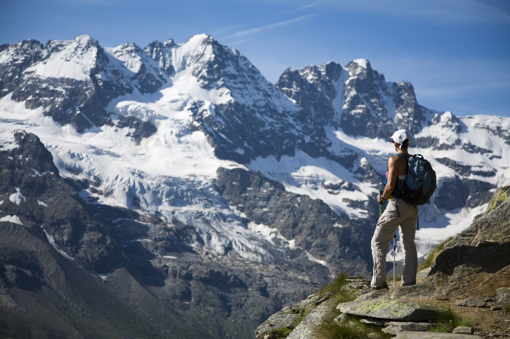
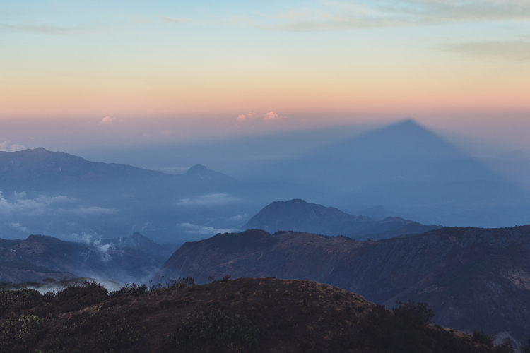
The views can be even more amazing if you begin the hike in the early hours of the day in order to summit before the sunrise. This requires hiking in the cold and dark, ideally with a guide, but the payoff is more than worth the effort. Following the spectacular stargazing opportunities en route, watching the sun crest the horizon and the mountains cast long, cascading purple and blue shadows toward Indonesia is a moment you're unlikely to forget.
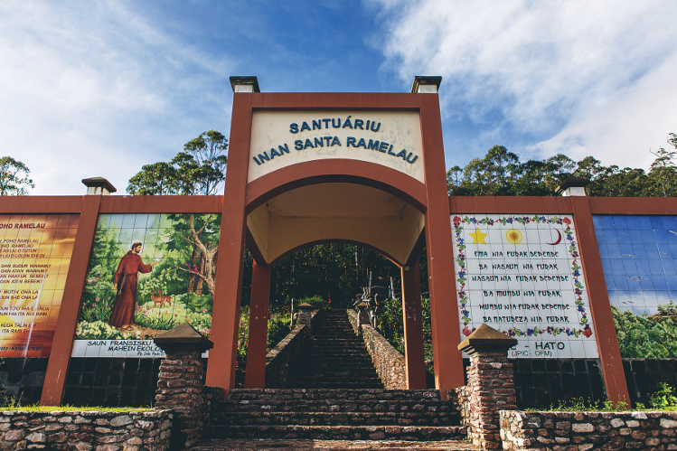
The hike to Mt Ramelau’s peak begins from the mountain village of Hatobuilico (1917m). A large gate to the trail head can be found 2kms up the road, which can be driven, but to do so is dangerous following rain.
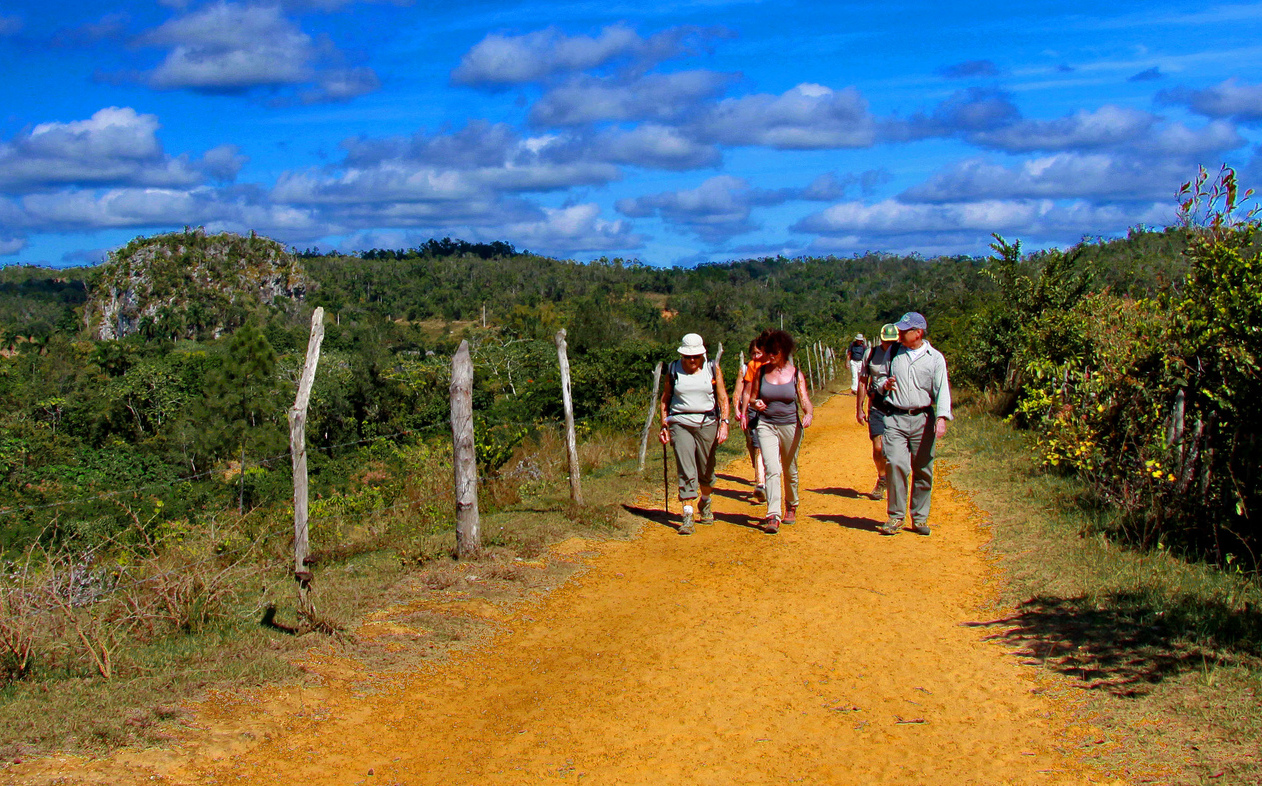
From the trail head, the reasonably well-marked path through the eucalyptus forests to the summit spans several kilometers with roughly 1km in elevation gain. The first half hour of the walk consists of a series of stone steps before turning into a dirt path; some sections can be quite steep and depending on individual fitness levels can take anywhere from one-and-a-half to four hours. Hiring a guide is recommended - while the trail is not difficult to follow, there are a number of places where the path splits so taking a wrong turn is possible (and potentially dangerous).
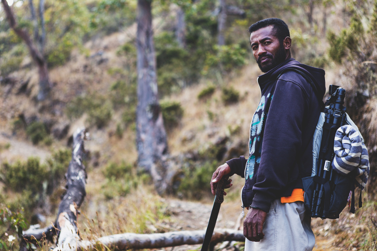
Guides typically ask anywhere from USD$10-$30 per person (negotiate for groups); most speak only a little English but this is generally not an issue.
For the best chance of clear views, hike during the dry season (May to November) as the summit will most likely be enveloped in clouds and rain during the other months.
Pack plenty of water and snacks, as you won’t have a chance to purchase these on the mountain. And don’t forget a set of warm clothes and a rain jacket – the major consideration that some often overlook when hiking Mt Ramelau is that it can be much colder and windier at the summit that you may expect (during the dry season summit temps can get down to freezing). Bring small denomination of US$ for guides.
Ramelau is situated in the Ainaro district, roughly 75km south of Dili as the crow flies, but the drive takes upwards of four to five hours on a winding, 100km stretch of road. The conditions of the roads, especially in the rainy season, can be extremely difficult and nearly impassable without a 4WD vehicle. Fortunately, it is nearly impossible to get lost as there is only one major road.
From Dili, head south out of town and the road will begin its ascent into the mountains immediately. After about 40 kms the road passes through the town of Aileu and after another 30 kms through Maubisse. Just past Maubisse, there’s a turn-off clearly indicated by a painted sign on a stone on the right-hand side of the road. Be warned: this narrow, rocky, 18km track to the trail head town of Hatobuilico can take upwards of 1.5hrs.
Not confident tackling Timor-Leste’s roads in a hire car? We don’t blame you. Several Dili tour operators organise trips to Ramelau. Enquire at Timor Adventures (timoradventures.com.au) and Eco Discovery.
Pousada Alecrim is the main guesthouse that hikers use as a base before climbing Ramelau. Clearly marked by signs, the bright yellow house is located right in Hatobuilico along the main road. While it is possible to walk in and snag one of the 17 bedrooms (around US$10-15pp, including meals), it’s best to phone ahead (+670 7730 4366) and notify the guesthouse of your arrival, party size, and whether or not you require a guide, as the place can book out in the dry season.