Throughout the country, the hottest months are December to March. The coastal areas are tropical, with particularly high humidity in April and May, but tempered by monsoon winds. The lowlands are hot but mainly dry, while the highlands are more temperate with four seasons. Nairobi has a very pleasant climate throughout the year due to its altitude. Near Lake Victoria, the temperatures are much higher and rainfall can be heavy.
Required clothing:Lightweight cottons and linens with rainwear are advised for the coast and lakeside. Warmer clothing is needed in June and July and for the cooler mornings on the coast. Lightweight layers are needed for much of the year in the highlands. Rainwear is advisable between March and June, and October and December.
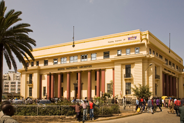
Kenya covers 580,367 sq km (224,000 sq miles) and sits astride the equator. It shares borders with Ethiopia in the north, Sudan in the northwest, Uganda in the west, Tanzania in the south and Somalia in the northeast. To the east lies the 480 km (300 mile) Indian Ocean coastline. The country is divided into four regions: the arid deserts of the north; the savannah lands of the south; the fertile lowlands along the coast; and highlands in the west, where the capital Nairobi is situated.
Northwest of Nairobi runs the Rift Valley, dotted with lakes and containing the town of Nakuru, while further west the Aberdare National Park is overlooked by Kenya’s highest peak, and Africa’s second tallest mountain after Mount Kilimanjaro, Mount Kenya (5,200m/17,000ft), which also is a national park. In the far northwest is Lake Turkana (formerly Lake Rudolph), and in the southwest is Kenya's share of Lake Victoria.