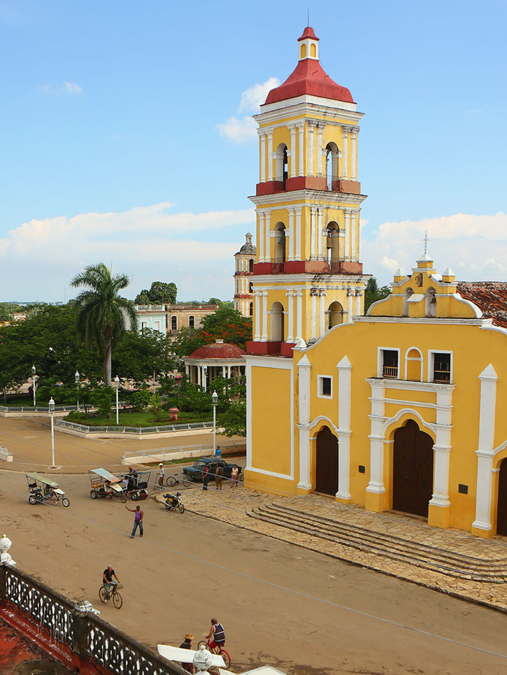
Parroquia de San Juan Batista in Remedios, Cuba.
Ernest Hemingway actively pursued German submarines in the 1940s, immortalizing his adventures in his novel Islands in the Stream. It is possible to follow the route of the novel’s protagonists as they pursued the Nazis east-west along the cays, passing Confites, Paredón Grande, Coco, Guillermo, and Santa María.
Much of the coastal plain is covered with scrubland and swampy marshland, perfect for bird-watching, and by lagoons, perfect for fishing. Inland, the undulating seas of green sugarcane merge with cattle country dominated by ranches—ganaderías—worked by vaqueros (cowboys) with lassoes.
Pancake-flat Ciego de Ávila (the average elevation of the land is less than 50 meters above sea level) is Cuba’s least-populous province, and though it’s the nation’s leading pineapple producer, almost three-fourths of the province is devoted to cattle. The wedge-shaped province (6,910 square kilometers) forms Cuba’s waist, stretching only 50 kilometers from coast to coast. There are few rivers and no distinguishing features, and few sights of historical interest, even in Ciego de Ávila and Morón, the only two towns of importance. By contrast, the city of Camagüey, capital of the nation’s largest province, offers plenty of colonial charm. The surrounding honey-colored rolling plains are reminiscent of Montana, parched in summer by a scouring wind that bows down the long flaxen grasses. These upland plains are bounded to the north by a line of low mountains, the Sierra de Cubitas.
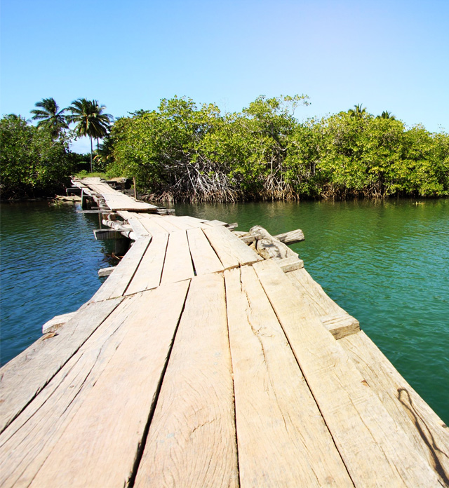
The sparsely populated southern plains are covered almost entirely by marshland and swamps. A slender archipelago—the Jardines de la Reina—lies off the southern coast, sprinkled east-west across the Golfo de Ana María. This necklace boasts fabulous beaches and bird-life, coral formations perfect for scuba diving, and shallow waters that offer angling delights.
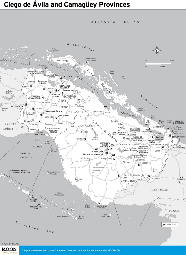
Ciego de Ávila and Camagüey Provinces
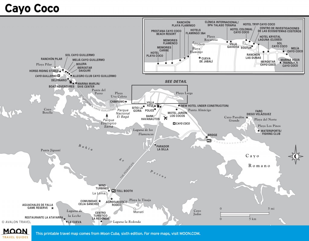
Cayo Coco
Excerpted from the Sixth Edition of Moon Cuba.