Hot with tropical temperatures all year with coastal areas being warmer than central regions. There are two rainy seasons; the heaviest is from May to August and the other is from November to December. Hurricanes may sometimes occur during these periods.
Required clothing:Lightweight fabrics are best suited to the tropical temperatures. Waterproofs are essential during the rainy seasons.
The Dominican Republic shares the Caribbean island of Hispaniola with the nation of Haiti. It is larger than its French-speaking neighbour, making up the eastern two-thirds of the landmass. A series of mountain belts stretch across the border region, most notably in the form of the Cordillera Central; at 3,175m (10,414ft) the peak of Pico Duarte represents the highest point of the country.
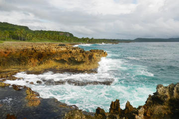
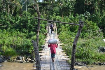
The Dominican landscape is frequently forested and often undulating, with a multitude of valleys, plains and plateaux. The soil is fertile with excellent white beaches on the north, southeast and east coasts. Ten per cent of the country was set aside in the 1970s to be protected as national parks and science reserves, and, in spite of occasional hurricanes and fires, these areas remain largely intact. Today there are 17 national parks in the Dominican Republic.
Capital city Santo Domingo sits on the south coast (providing a popular stop-off for cruise ships), while the country's second largest city, Santiago, is located in the central northwest region.
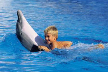
The Reserva Cientifica Banco de Plata is an underwater park located off the north coast, set up to preserve a breeding ground for the thousands of humpback whales that visit each winter.