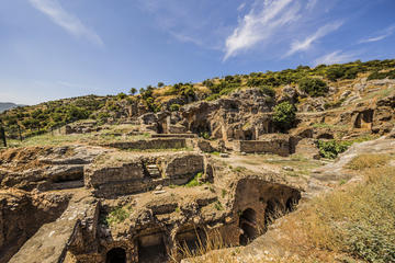
Through Yazilikaya Valley , heading from Seyitgazi to Afyon, turn south after about 3km into a road marked with a brown sign pointing to Midas Şehri. Further along this rough road a sign leads right 2km to the Doğankale (Falcon Castle)and Deveboyukale (Camel-Height Castle), both of them plugs of rock riddled with formerly inhabited caves.
Further south another rough track to the right leads 1km to the Mezar Anıtı (Monumental Tomb), where a restored tomb is cut into the rock.
Continuing south is another temple-like tomb, called the Küçük Yazılıkaya (Little Inscribed Stone).
Midas Sehri is a few kilometres on from Küçük Yazılıkaya. Archaeologists call this important section Midas Şehri (Midas City) though it is actually the village of Yazılıkaya (Inscribed Rock), 32km south of Seyitgazi.
The sights at Yazılıkaya are clustered around a huge rock. Tickets (TL3) are sold at the library in front of the steps leading up to the site. The friendly local custodian will meet you and give you the excellent 'Highlands of Phrygia' brochure (he usually keeps them in the back of his car). A second 'Eskişehir' brochure has good maps of the entire Phrygian Valley, and an essential guide to exploring Yazılıkaya.
Carved into the soft tufa, the so-called Midas Tomb is a 17m-high relief covered in geometric patterns and resembling the facade of a temple. At the bottom is a niche where an effigy of Cybele would be displayed during festivals. Inscriptions in the Phrygian alphabet – one bearing Midas' name – circle the tomb. The Phrygians prayed here for centuries and lived in the flood plains below.
Behind the Midas Tomb a path leads down to a tunnel, then passes a second smaller tomb , unfinished and high up in the rock. The path continues upwards to the top of a high mound, which was an acropolis . Here you will find a stepped stone, labelled an altar , which may have been used for sacrifices, and traces of walls and roads. Even with a map following the paths can be confusing, but the main features are easy to spot. Note that it was here at the acropolis that the first evidence of water collecting was discovered – carved holes with slatted steps trapped rainwater for the dry season.