Lose the crowds at Cedar Breaks National Monument. Photo © Bill McRae.
If you’re driving between Zion and Bryce National Parks, consider stopping at Cedar Breaks. But take note: This is high country, and the road is closed mid-October-late May.
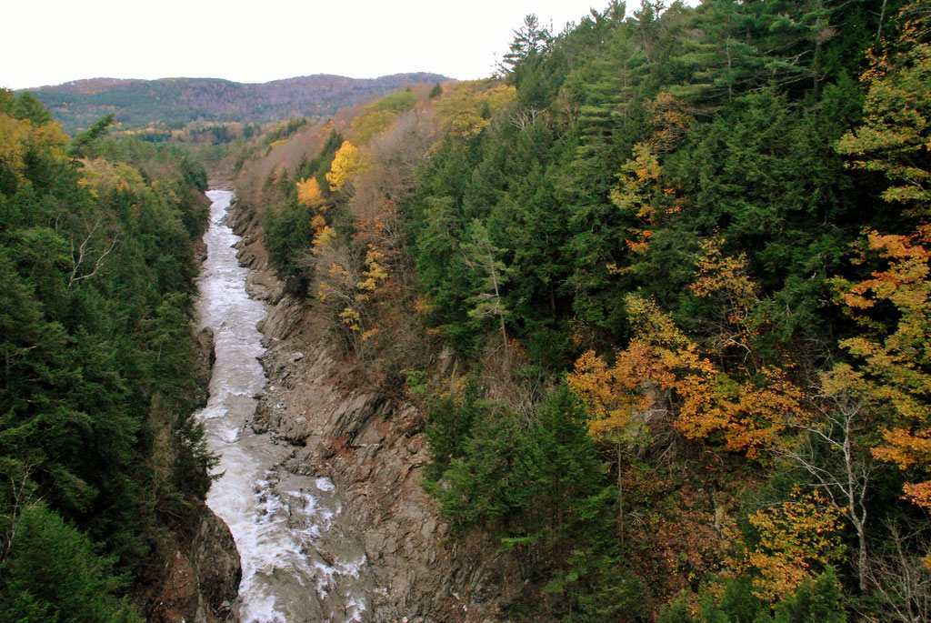
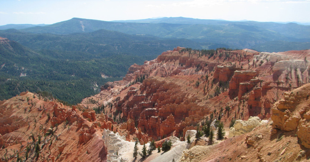
Traces of iron, manganese, and other minerals have tinted the normally white limestone a rainbow of warm hues. The intense colors blaze during sunsets and glow even on cloudy days.Cedar Breaks National Monument ($4) is much like Bryce Canyon, but it’s on a different high plateau and lacks the crowds that flock to Bryce. Here on the west edge of the Markagunt Plateau, a giant amphitheater 2,500 feet deep and more than three miles across has been eroded into the stone. A fairyland of forms and colors appears below the rim. Ridges and pinnacles extend like buttresses from the steep cliffs. Traces of iron, manganese, and other minerals have tinted the normally white limestone a rainbow of warm hues. The intense colors blaze during sunsets and glow even on cloudy days.Rock layers look much like those at Bryce Canyon National Park, but here they’re 2,000 feet higher. Elevations range from 10,662 feet at the rim’s highest point to 8,100 feet at Ashdown Creek. Cottony patches of clouds often drift above the craggy landscape. In the distance, beyond the amphitheater, are Cedar City and the desert’s valleys and ranges. Dense forests broken by large alpine meadows cover the rolling plateau country away from the rim. More than 150 species of wildflowers brighten the meadows during summer; the colorful display peaks during the last two weeks of July, when the Annual Wildflower Festival (435/586-9451) takes place.
Two easy trails near the rim provide an added appreciation of the geology and forests. Allow extra time on foot—walking can be tiring at high elevations. Regulations prohibit pets on the trails.
A five-mile scenic drive leads past four spectacular overlooks, each with a different perspective. Avoid overlooks and other exposed areas during thunderstorms, which are common on summer afternoons. Heavy snows close the road for much of the year. You can drive in only from about late May, sometimes later, until the first big snowstorm of autumn, usually in October. Winter visitors can ski, snowshoe, or travel by snowmobile (only on unplowed roads) from Brian Head (2 miles north of the monument) or Highway 14 (2.5 miles south).
Cedar Breaks National Monument is 24 miles east of Cedar City, 17 miles south of Parowan, 30 miles southwest of Panguitch, and 27 miles northwest of Long Valley Junction (Hwy. 14 and U.S. 89).
A log cabin visitors center (435/586-0787 summer, 435/586-0787 winter, 9am- 6pm daily June 5-mid-Oct.) includes exhibits, an information desk, and a bookstore. The exhibits provide a good introduction to the Markagunt Plateau and identify local rocks, wildflowers, trees, animals, and birds. Staff members offer nature walks, geology talks, and campfire programs; see the schedules posted in the visitors center and at the campground. The Point Supreme Overlook is located west of the visitors center. The entrance fee ($4 per vehicle) is collected near the visitors center; there’s no charge if you’re just driving through the monument without stopping.
The Spectra Point/Ramparts Trail begins at the visitors center, then follows the rim along the south edge of the amphitheater to an overlook.
Hikers who are short on time or feeling the effects of the 10,000-foot elevation can cut the distance in half by stopping after one mile at Spectra Point, where weather-beaten bristlecone pines grow. The trail’s end is marked by an overlook.
Point Supreme Campground (mid-June-late Sept., $14), east of the visitors center, offers 28 first-come, first-served sites with water. If you plan to visit in June or September, it’s best to call ahead to check that it’s open; in some years the season is short. There’s a picnic area near the campground.
The nearest accommodations and restaurants are two miles north in Brian Head, where Cedar Breaks Lodge (223 Hunter Ridge Rd., Brian Head, 435/677-3000 or 888/282-3327, $94-109 summer, $120-139 winter) has fairly plush guest rooms, a day spa, and good deals during the summer (Brian Head is busiest during the ski season).