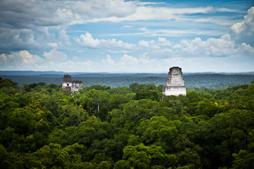
The ruins of Aguateca stand on a hilltop at the far south end of Laguna Petexbatún. Defended by cliffs and split by a ravine, the city enjoyed military successes (including one over nearby Ceibal) up until about AD 735, according to data gleaned from carved stelae. The site is both the easiest reached and most immediately impressive within reach of Sayaxché.
It's fairly certain that rulers from Dos Pilas abandoned that city for the better-fortified Aguateca around AD 761, and that the city was finally overrun by unknown attackers around 790 – a wealth of arrowheads and skeletons have been found dating back to that time. It was abandoned shortly afterwards.
A five-minute walk from the dock is the visitor center. Rangers can guide you round the site in about 1½ hours (a small tip is in order). Two main groups feature well-restored structures: the Grupo del Palacio where the ruler lived, and the Plaza Mayor (Main Plaza) to its south, where fiberglass copies of stelae showing finely attired rulers stand beside the fallen originals. The two groups are connected by a causeway over the ravine.
From the visitor center, you can skirt the cliff wall north to reach a mirador (lookout) with views over the rivers and swampland toward the east. The trail then turns left and descends into the ravine, continuing 100m between two sheer limestone walls, then climbs back up to emerge onto the Grupo del Palacio. Proceed through the palatial complex back toward the entrance. At the lower end, turn right to take the causeway over the ravine (70m deep here) to reach the Main Plaza.
Aguateca is a 1¼-hour lancha (small motorboat) trip direct from Sayaxché, via the mangrove-fringed Río Petexbatún.