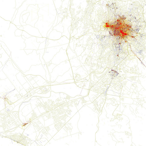
The last time I was on the travel podcast, This Week in Travel, one of the regular co-hosts pointed me to a series of maps on Flickr that use the location data from photographs to indicate the spots in a city where people take pictures. Not only that, the photo locations are color-coded – blue for locals and red for tourists – to give you an idea of where visitors take pictures more often than people who live there, and vice versa.
Of course, they can’t know for sure who’s a local and who’s not, so they’re basing it on whether your photo history is predominantly in that city (in which case you’re a local) or you only have photos in that city for a short period of time (in which case you’re a visitor).
At any rate, I went through the series of photos and found the cities in Italy. The huge red areas aren’t surprising, but the maps themselves are quite pretty (I think) even if they aren’t enlightening.
>> Click through to each one on Flickr to see the annotated maps, which indicate major monuments in each city
Rome
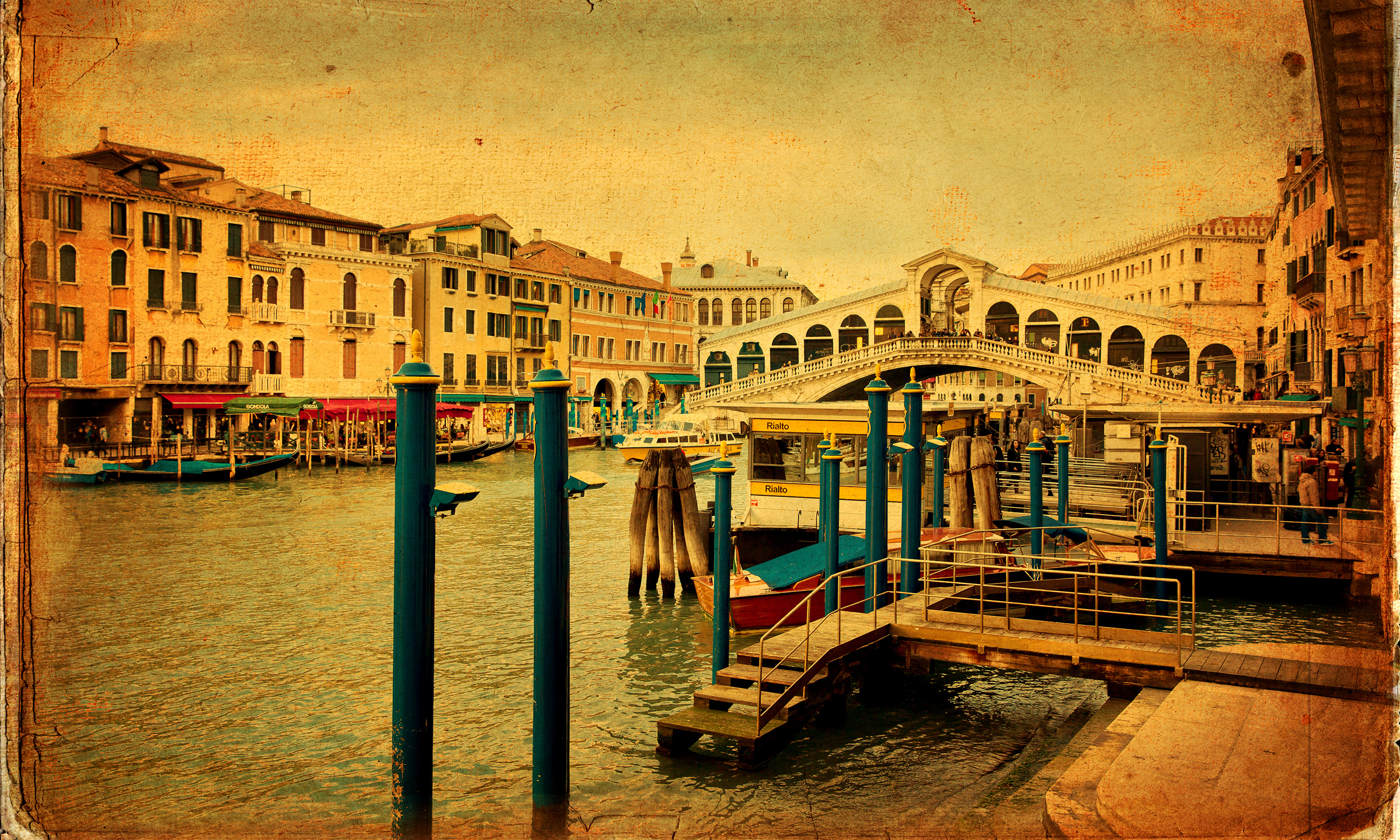
Venice
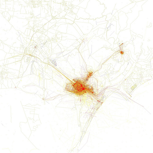
Florence
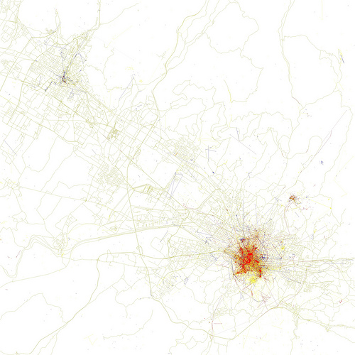
Milan
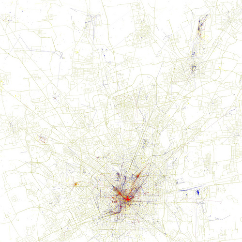
all maps by Eric Fischer