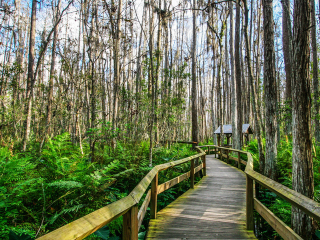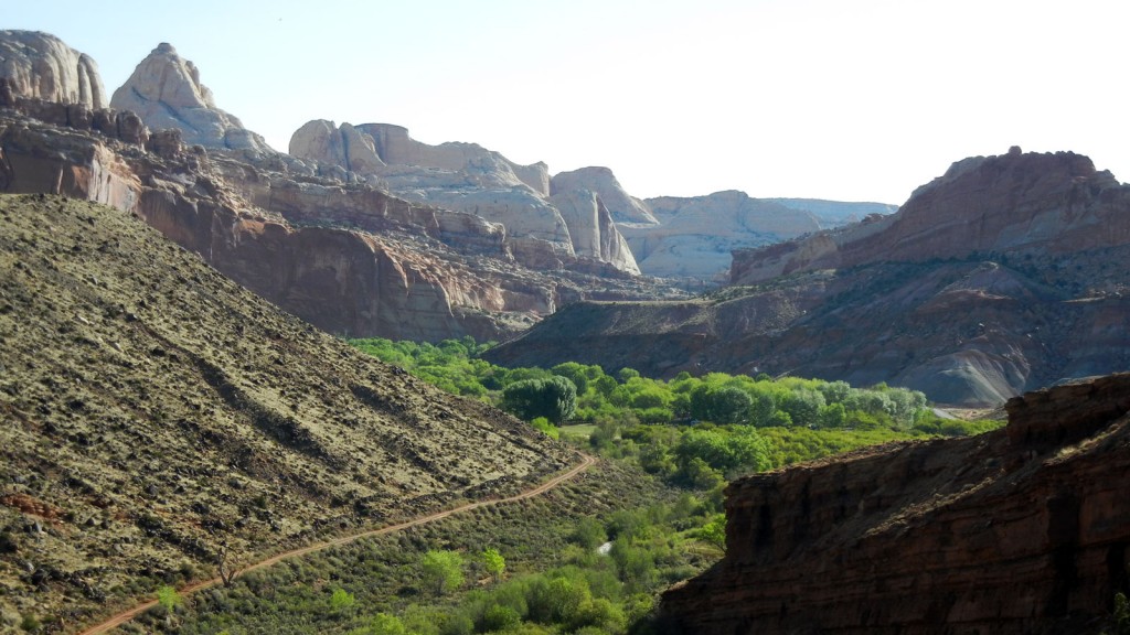
View from above the Fremont River. Photo © Judy Jewell.
Ponderosa pine and other cool-climate vegetation grow on the flanks of Thousand Lake Mountain at elevations of 7,000-9,000 feet in the northwest corner of the park. Most of the Waterpocket Fold, however, is at 5,000-7,000 feet, covered with sparse junipers and piñon pines that cling precariously in cracks and thin soils of the slickrock. The soil from each rock type generally determines what will grow. Mancos Shale forms a poor clay soil supporting only saltbush, shadscale, and galleta grass. On Dakota sandstone you’ll see mostly sage and rabbitbrush. Clays of the Morrison Formation repel nearly all plants, while its sandstone nurtures mostly juniper, piñon pine, and cliffrose; uranium prospectors discovered that astragalus and prince’s plume commonly grow near ore deposits. Sands of the Summerville Formation nourish grasses and four-wing saltbush. The Fremont River and several creeks provide a lush habitat of cottonwood, tamarisk, willow, and other water-loving plants.Streamside residents include beavers, muskrats, mink, tree lizards, Great Basin spadefoot toads, Rocky Mountain toads, and leopard frogs. Spadefoot toads, fairy shrimp, and insects have adapted to the temporary water pockets by completing the aquatic phases of their short life cycles in a hurry. Near water or out in the drier country, you might see mule deer, coyotes, gray foxes, porcupines, spotted and striped skunks, badgers, black-tailed jackrabbits, desert cottontails, yellow-bellied marmots, rock squirrels, Colorado chipmunks, Ord’s kangaroo rats, canyon mice, and five known species of bats. With luck, you may sight a relatively rare (and suitably distant) mountain lion or black bear.
Although you can’t miss seeing the many small lizards along the trails, snakes tend to be more secretive; those in the park include the striped whipsnake, Great Basin gopher snake, wandering garter snake, and the rarely seen (and quite venomous) midget faded rattlesnake. Some common birds are the sharpshinned hawk, American kestrel, chukar, mourning dove, white-throated swift, blackchinned and broad-tailed hummingbirds, violetgreen swallow, common raven, piñon and scrub jays, canyon and rock wrens, and rufous-sided towhee. Most wildlife, except birds, wait until evening to come out, and they disappear again the following morning.
Exposed rocks at Capitol Reef reveal windswept deserts, rivers, mud flats, and inland seas of long ago. Nearly all the layers date from the Mesozoic Era (65-230 million years ago), when dinosaurs ruled the earth. Later uplift and twisting of the land, which continues to this day, built up the Colorado Plateau of southern Utah and the Rocky Mountains to the east. Immense forces squeezed the rocks until they bent up and over from east to west in the massive crease of the Waterpocket Fold.
More about the Waterpocket FoldAbout 65 million years ago, well before the Colorado Plateau uplifted, sedimentary rock layers in south-central Utah buckled, forming a steepsided monocline, a rock fold with one very steep side in an area of otherwise nearly horizontal layers. A monocline is a “step-up” in the rock layers along an underlying fault. The rock layers on the west side of the Waterpocket Fold have been lifted more than 7,000 feet higher than the layers to the east. The 100-mile-long fold was then subjected to millions of years of erosion, which slowly removed the upper layers to reveal the warped sedimentary layers at its base. Continued erosion of the sandstone has left many basins, or “water pockets,” along the fold. These seasonal water sources, often called “water tanks,” are used by desert animals, and they were a water source for prehistoric people. Erosion of the tilted rock layers continues today, forming colorful cliffs, massive domes, soaring spires, stark monoliths, twisting canyons, and graceful arches. Getting a sense of the Waterpocket Fold requires some off-pavement driving. The best viewpoint is along Burr Trail Road, which climbs up the fold between Boulder and Notom-Bullfrog Road.
The dark-colored vertical stripes often seen on sandstone cliff faces across the Colorado Plateau are known as desert varnish. They’re mostly composed of very fine clay particles, rich in iron and manganese. It’s not entirely known how these streaks are formed, but it seems likely that they’re at least partly created by mineral-rich water coursing down the cliffs along the varnished areas and wind-blown clay dust sticking to cliff faces. Bacteria and fungi on the rock’s surface may help this process along by absorbing manganese and iron from the atmosphere and precipitating it as a black layer of manganese oxide or reddish iron oxide on the rock surfaces. The clay particles in this thin layer of varnish help shield the bacteria against the drying effects of the desert sun. Prehistoric rock artists worked with desert varnish, chipping away the dark surface to expose the lighter underlying rocks.
Tips for Identifying RocksIn Utah, you’ll get used to seeing a lot of colorful rock formations. The color gives you clues to the composition and geologic history of the rock. In general: